Tag: aerial

  • Fit2Paddle Paddling Photography on Instagram

    Fit2Paddle Paddling Photography on Instagram

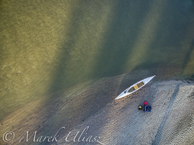
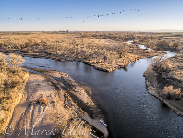
    Every day I am posting pictures on Instagram. My Instagram feed is dominated by paddling, especially, SUP, but also includes images from other outdoor activities: mountain biking, hiking, inline skating and drone flying. Recent pictures were shot mostly with Sony cameras: A6000, A7R2, A7R3, some with waterproof Olympus Stylus and all aerials with DJI Phantom 4 pro drone. My Canon 5D Mark 3 camera stays in the home studio these days.

    Last year I started to race stand up paddleboards. This limited my chances to shoot pictures during actual racing. However, each race includes a long driving time which I am using for shooting including aerial video and photography.

    You are welcome to visit my Instagram and like, follow, share, comment …

    [instagram-feed]

    word abstract  - social media concept

  • Starting 2015/16 Winter Paddling Season on South Platte River

    Starting 2015/16 Winter Paddling Season on South Platte River

    A middle of November. It’s time to start my winter paddling season. Of course, Horsetooth and other local lakes in Fort Collins are still open, so I can continue my summer style paddling. Nevertheless, I took the Sea Wind canoe, Pixel (aka water Corgi) and went for the first fall/winter paddling on the South Platte River.

    We went to Masters and started to paddling upstream. However the dam just above Master bridge was closed and diverting water to Jackson Reservoir, so we paddled a couple miles downriver instead. Beautiful weather and a good flow of ~900cfs @ Weldona. Actually, I spent more time photographing than paddling.

    I am hoping to do more paddling on different sections of the South Platte River during the incoming winter season and, finally, update my river guide. Would you like to join me? The South Platte with a typical winter flow is just a wading river and suitable for safe paddling with any boat – kayak, canoe or SUP. Well, a paddleboard would require some experience and a short fin due to possible shallows. I don’t think that you need to dress for immersion, but I always take extra clothes for change.

    I am still sorting my blogs after migrating to a new server. If you encounter any problem or missing links please let me know.

    aerial view of eastern Colorado landscape with South Platte River,  water channels, reservoirs and irrigated farmland
    South Platte River in eastern Colorado below Masters with Jackson Reservoir ditch, looking downstream
    aerial view of South Platte River in eastern Colorado with a canoe on sandbar, fall scenery
    Looking down from Phantom 3 drone. Can you see the Sea Wind canoe, me and Pixel?
    aerial view of expedition decked canoe on a sandbar, South Platte River in eastern Colorado
    Let’s look a little closer
    river sandbar texture and pattern - South Platte RIver in eastern Colorado
    and, even closer
    South Platte River in eastern Colorado between Greeley and Fort Morgan, a typical fall or winter scenery
    A typical fall or winter scenery on the South Platte lit by the low setting sun
  • Paddling and Flying with Geese at St Vrain and South Platte Confluence

    Paddling and Flying with Geese at St Vrain and South Platte Confluence

    During my last paddling trip I made a stop to photograph the confluence of St Vrain Creek and South Platte River below Platteville. It was just before sunset. Hundreds of Canadian geese were passing by. I had my drone about 8 minutes in the air and some of flying geese were captured in my pictures.

    Pictures of my drone (DJI Flame Wheel F550 with Panasonic Lumix GM1 camera) were shot earlier during my first stop at Wildcat Mound about 1 mile below the confluence.

    My next visit to this river section with be probably on SUP and without the drone. I paddle Badfish SUP with a short fin which is probably safer at some shallow and rocky spots below the confluence.

    South Platte River and St Vrain
    Aerial view of the South Platte River with Sea Wind canoe and a paddler/pilot.
    South Platte River and St Vrain
    Aerial view of South Platte River and St Vrain Creek confluence looking upstream, i.e., south
    South Platte River and St Vrain
    Aerial view of South Platte River and St Vrain Creek confluence
    DJI Flame Wheel F550 drone
    DJI Flame Wheel F550 drone with Panasonic Lumix GM1 camera on a sandbar
    hexacopter drone with camera and canoe
    Sea Wind canoe with DJI Flame Wheel F550 drone

    I am adding the above pictures to Aerial Landscape gallery in my stock photography portfolio. They are available for license and immediate download as royalty free images.

    Related posts:
    Aerial View of South Platte River at Wildcat Mound below Platteville
    Paddling SUP on South Platte River from Kersey to Kuner
    South Platte River below Denver – GPS/photo river guide


  • Aerial View of South Platte River at Wildcat Mound below Platteville

    Aerial View of South Platte River at Wildcat Mound below Platteville

    A stretch of the South Platte River along Wildcat Mound below confluence with St Vrain Creek is my favorite river section for paddling. It can be accessed from the county road 19.5 bridge on the St Vrain Creek (north of the power station). This river access is relatively easy without a need to climb any fences. From here you have 1 mile of paddling to the confluence. This may be a start of a longer downriver trip or just downstream/upstream workout. The St Vrain current is pretty mild and you can easily paddle upstream. The South Platte is, in turn, much faster with some shallows and even little rock gardens (easy to navigate). It is more interesting for paddling downstream and more challenging for paddling upstream than the river section below Evans.

    During my last trip (March 10, 2015) I shot some aerial pictures of the river at Wildcat Mound from a low flying drone. This place is about 1 mile below confluence. There is a shallow rapid just below the confluence. It gave a very good workout when I was paddling back upstream. River flow was ~120 cfs at St Vrain Cr and ~400cfs on South Platte at Ft Lupton (several diversion dams upstream). For comparison you can check pictures from my packrafting trip in June, 2011. The 2013 flooding cleared all previous log jams on the St Vrain. You can still see these huge cottonwood trees in the water, but they do not block the river.

    South Platte River aerial view
    South Platte River at Wildcat Mound looking up stream
    South Platte River aerial view
    South Platte River with Sea Wind canoe
    South Platte River aerial view
    South Platte River at Wildcat Mound with a little rock garden looking down stream

    I am adding the above pictures to Aerial Landscape gallery in my stock photography portfolio. They are available for license and immediate download as royalty free images.

    Related posts:
    Paddling SUP on South Platte River from Kersey to Kuner
    Opening 2015 Paddling Season on the South Platte River
    South Platte River below Denver – GPS/photo river guide