May

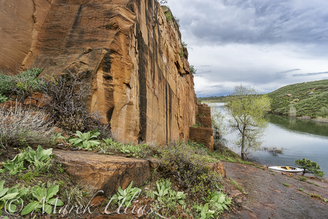
Horsetooth Reservoir is 6 miles long, but I wonder how long would be a lap around the entire lake following closely the shore. 25+ miles? There is only one way to check it out. So far this year, I haven’t paddled more than 10 miles, always in Sea Wind canoe.
There are several access spots to launch your kayak, canoe or SUP:
1. South Bay – boat ramp
2. Inlet Bay – boat ramp
3. Satanka Bay – boat ramp
4. Sunrise Area from the Centennial Road (closed during winter).
5. North Eltuck Cove from the Lory State Park (trail access up to 0.25 mile at a low water)
I am avoiding boat ramps during power boat season. Off season, I am often using one of the South Bay boat ramps. It’s possible to park on a beach close to water there. Right now, boat ramps are very short and a regular parking is really close to water. I use Sunrise Area next to swimming “beach” mostly during summer. The shore there is quite rocky and not protected from waves and boat wakes. Access point 1-4 require Larimer County Parks pass and 5 – Colorado State Park pass for your car. I used to carry my light Thunderbolt kayak from the Lory State park or tow Sea Wind on snow.

March 30, 2015: Aerial view of the South Eltuck Cove. Camera: Panasonic Lumix GM1 on F550 Flaming Wheel drone.

April 27, 2015: Paddling north along the west coast between South Bay and Dixon Cove. Camera: Sony A6000 with 16-50mm lens.
Horsetooth REservoir map
Winter Season Paddling on Horsetooth Reservoir with Sea Wind Canoe
Early Morning Paddling on the Horsetooth Reservoir
Fisheye Lens Perspective for Paddling?
Related
Categories
Recent Posts
 Boyd Lake at dusk: bike and canoe adventureBy Marek on March 21, 2024
 Florida to Colorado with 4Runner and Liteboat Rowing ShellBy Marek on December 7, 2023
 Summer paddling, swimming and photography on Horsetooth ReservoirBy Marek on September 18, 2023


