pictures, video, stories, reviews, tips & gear for paddling photography
Rob’s pictures from this paddling on facebook.

Launching our paddleboards below Kersey bridge next to water gauge station

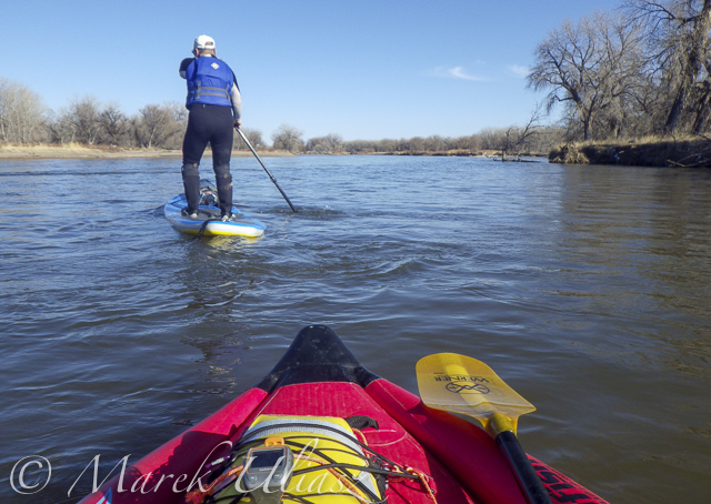
I paddled my Badfish SUP with a short fin and never touched the bottom. Rob paddled with a regular fin and had to step out of his board once or twice, but I believe it would be possible to avoid any shallows with a more careful navigation.

Finishing our run at Kuner on left shore above the bridge

A typical bridge river access on the South Platte.

A part of Riverside Park at Evans reopened in September 2014 with entry from 42nd Street. There is access to a small lake, but no access to the river.

A bike trail going under hwy 85 bridge at Evans. Off road parking at the end of frontage road. The river access is not bad for the South Platte standards (no fences), but the under bridge scenery is pretty ugly.

And, the bike trail ends just below the bridge. This is how probably the river shore looks further downstream at Riverside Park after the 2013 flooding.

Let’s move 16 miles upstream: St Vrain Creek at Wildcat about 1 mile before the confluence with the South Platte.

Access to the river from the county road 19.5 (no fences) looks more or less the same as before flooding. River flow ~200cfs. I have started paddling trips here with flow as low as 90cfs.
Recent Posts
 Train or Relax with my POV video – paddling, rowing, bikingBy Marek on June 21, 2025
 Paddling stories with my real voice vs AI voiceoverBy Marek on June 16, 2025
 Boyd Lake at dusk: bike and canoe adventureBy Marek on March 21, 2024

